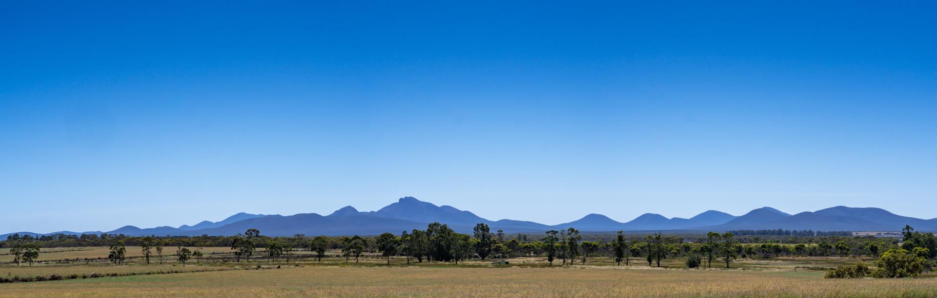
Stirling Range National Park
The Stirling Range, named Koi Kyenunu-ruff by traditional custodians the Menang people, is a ruggedly dramatic range of mountain peaks rising to more than a thousand metres from sea level.
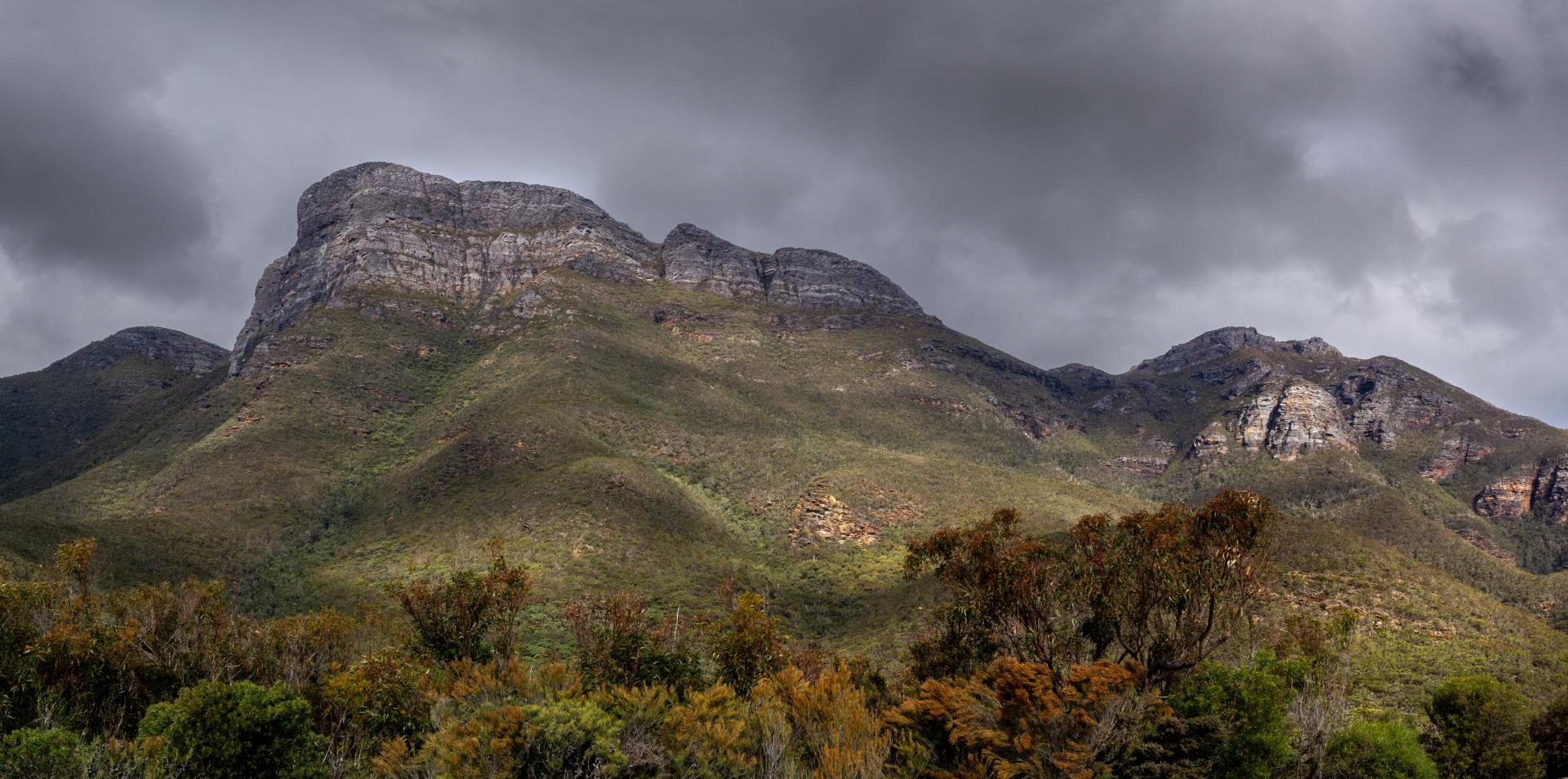
Many know the ranges for its highest peak – Bluff Knoll – which attracts droves of visitors when inclement weather brings snow to the mountain top. Unusual cloud formations often wreathe the peak, inspiring its Aboriginal name, Koi Kyenunu-ruff, meaning ‘mist rolling around the mountains’.
However there are many established tracks up several other stunning peaks, such as Mt Trio, Mt Toolbrunup, Mt Hassell, Talyuberlup Peak and Mt Magog. All are steep and have uneven surfaces but offer access to unspoilt Australian bush dotted with captivatingly unique flora and fauna, including the quokka.
While the ranges were devastated by fires in early 2020, wildlife populations are rallying, the regrowth is stunning, and renewed facilities make the trek more attractive than ever.
The Stirling Range is located within a National Park of 115,671ha featuring more than 1500 plants (82 endemic) and 140 identified bird species. The 42km Stirling Range Drive winds through the heart of the park on mostly unsealed roads graded for two-wheel drive. It stretches from the Western Lookout near Red Gum Spring to the Eastern Lookout below Bluff Knoll. Take a break in the drive to enjoy sweeping vistas from Central Lookout or a picnic in shady woodlands at White Gum Flat.
There are a range of accommodation options nearby and endless options for discovery. As the range is located in a national park, there is an entry fee and pets are not permitted in the National Park.